[closed] Initial Feedback & Questions
Posted: Fri May 20, 2016 6:38 am
I've just purchased AlpineQuest to hopefully replace MMTacker (which I use for UK hiking) and OruxMaps (which I use for hiking abroad). AlpineQuest seems to be the only alternative if I want to use my MemoryMap maps and a great one at that.
Two of the main advantages over MMTracker are : moving off one map when browsing results in the next map being displayed (not so in MMTracker) and height gained/loss profiles. I also suspect that Alpine Quest will be able to load external GPX files from different sources more reliably though I haven't tried this yet.
The initial downsides (at the moment) are :
1. Waypoints seem to be the same colour as the tracks. I have a waypoint set of Wainwrights which I load in and aim for when in the Lakes. As they load in as the same colour are the track they become almost invisible as you move over them. I know I can manually change an individual waypoint colour but can I change the colour of a who set of waypoints? Could waypoints have their default colour user-defined?
2. In both Orux Maps and MMTracker there is the option to create GPX files from recorded routes automatically. I know I have to export them myself Would it be possible to add an option to automatically create a gpx file (as well as the native track file)?
3. I would like to keep GPX routes and Waypoints in a directories of my choice - I haven't found how to change the default directory where they go. Is this possible? MMTracker is ideal for me - one starting the app you are asked to set the directory for Maps, Tracks, Waypoints and Routes (all treated distinctly)
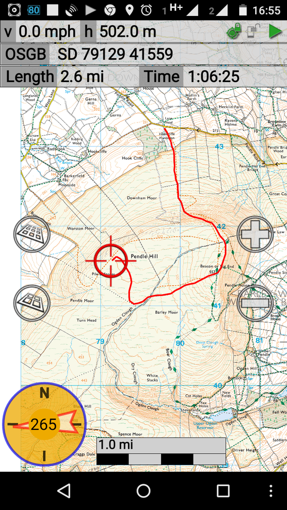
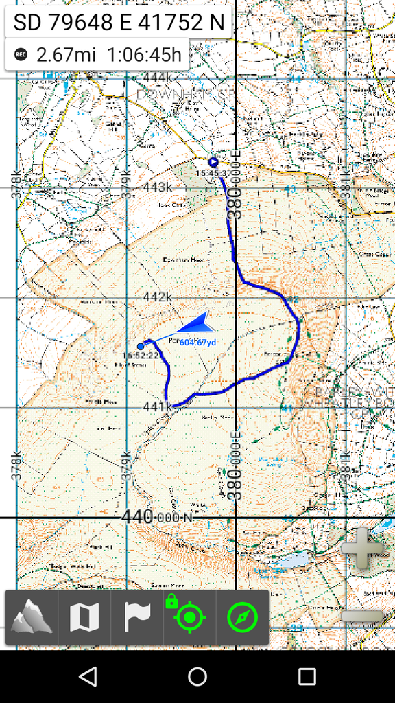
4. The arrow used for the location of the user - is this changeable to be something a little less solid? e.g. crosshairs
I'll be off hiking in anger this weekend and look forward to trying the app in real life - and discovering options I have never had before..... thanks for creating it.

