Zoom in last resolution
Posted: Sun May 16, 2021 9:21 pm
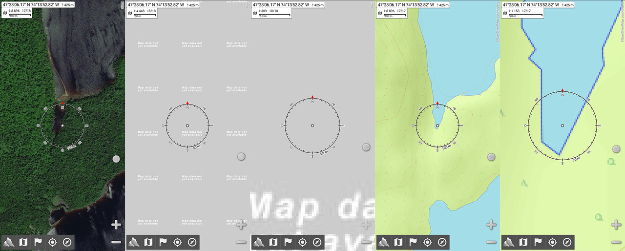
Hi, i use AlpineQuest a lot when driving in the woods. While on the ESRI Imagery, i can zoom to 17/18, but when i try to zoom more, it goes to 18/18 but becomes all white tile "Map data not yet available" written. I just want to zoom with or without zoom level 18. I would like to zoom into the last resolution like i do with OpenTopoMap for example. I get to 17/17 and can still zoom with current resolution. I think you get the point, i would like to know if anyone have a solution for this?
Also, is there a way for track recorder to add point every x meters instead of every x seconds? I think i've seen this in Canada Topo Map. Seconds delay is good for hiking but i think distance would be better for driving my truck in forestry roads.
Thanks
Also, is there a way for track recorder to add point every x meters instead of every x seconds? I think i've seen this in Canada Topo Map. Seconds delay is good for hiking but i think distance would be better for driving my truck in forestry roads.
Thanks